
Wetland Assessment & Delineation

Riparia’s wetland delineation services give property owners and developers a clear, defensible picture of onsite critical areas and applicable regulatory protections—the foundational information needed to make informed decisions when designing for compliance and efficacy.

Request a Wetland Delineation & Assessment

Three forest workers wearing hard hats and high-visibility vests walking through a grassy, tree-filled park while talking.

Project Clarity & Accurate Documentation

Riparia is a certified wetland delineator, delivering wetland assessments and environmental science services through our partnership with MacKay, whose experienced environmental scientists have performed and trained others in wetland delineations across the Pacific Northwest. Riparia gives you the clarity and expert guidance to make your project a success, with a crew that arrives equipped with the specialized tools and the professional credentials needed to produce effective delineations.

Stylized badge showing a heron flying over a lake with reeds, hills and setting sun, caption "Natural Resource Management"

Who This Is For

  • Land developers who need to understand what resources are present on a property before work begins—including what areas are buildable, what regulatory protections apply, and what compensatory mitigation may be required.

  • Clients requiring in-water construction for projects that involve work in or near water bodies and need assessment and monitoring services to determine the appropriate protective measures, maintain water quality, and remain in compliance with applicable regulations throughout construction.

Two women in hard hats and reflective vests standing in a grassy forest clearing, one holding a clipboard while the other shows a small sample.

What To Expect

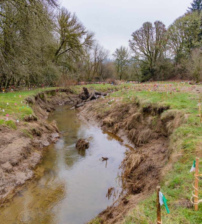
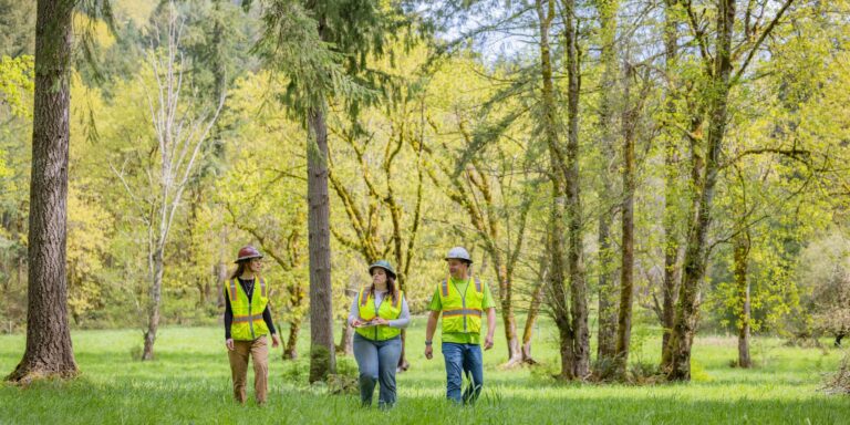
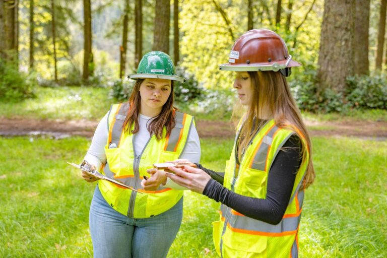
Riparia’s wetland delineation and assessment process is thorough, methodologically sound, and documented to provide compliance with regulatory requirements. Every engagement is led by qualified wetland professionals and environmental scientists who combine field expertise with a deep understanding of the regulatory framework governing wetlands in the Pacific Northwest. Our clients receive:

  • A detailed assessment report prepared by a qualified wetland professional, documenting site findings, methodology, and delineated boundaries
  • Hands-on guidance and support from wetland professionals from pre-assessment through jurisdictional review
  • Quantifiable field data gathered using specific tools and established methodologies, including soil charts, turbidity readings, irrometer data, and vegetation observations

How We Work

  • 1. Pre-Assessment

    Before visiting the site, we review all available preliminary information—topographic maps, aerial photography, National Wetland Inventory data, soil surveys, and any existing site documentation. This research informs the field investigation and ensures time on site is focused and productive. Pre-assessment typically takes one to three days.

  • 2. Field Investigation

    Our wetland professionals conduct an on-site assessment, evaluating three key parameters used to determine wetland presence: the site’s ability to hold water, hydric soil characteristics, and the presence of wetland vegetation. Our team marks boundaries, records descriptive observations, and collects relevant data. Field investigation typically takes one to three days depending on site size and complexity.

  • 3. Post-Assessment Report

    All field data and desktop research findings are compiled into a comprehensive report documenting the site’s wetland boundaries, the methodology used, and how the assessing professional arrived at those determinations. This step typically takes one to two weeks to complete.

  • 4. Jurisdictional Involvement

    The completed report and supporting documentation are submitted to the appropriate regulatory agencies—including the U.S. Army Corps of Engineers (USACE) where applicable—for independent review and formal concurrence. USACE verification of wetland delineations typically takes 45 to 60 days.

Why Wetland Delineation & Assessment Matters

Wetlands are among the most heavily regulated features on any piece of land and protected under the federal Clean Water Act, Washington State law, and local critical areas ordinances. Proceeding without understanding what wetland resources are present is one of the most common and costly mistakes a property owner or developer can make. A completed delineation puts you ahead of that risk before it becomes a violation.

Narrow muddy stream winding through a grassy, eroded bank with many small colored survey flags and bare winter trees in the background

Regulatory Compliance

Development affecting wetlands without proper permits can result in stop-work orders, significant fines, and mandatory restoration. A delineation establishes understanding of your obligations and designs your project accordingly.

Accurate Buffer Establishment

Knowing where wetland boundaries are allows project designers to establish properly sized and spaced buffers—the protective zones that regulations require between development activity and wetland features.

Environmental Stewardship

Wetlands provide irreplaceable ecological functions such as water filtration, flood attenuation, fish and wildlife habitat, and groundwater recharge. Understanding where they are is the first step toward making sure project activities don’t disturb or contaminate them, protecting both resources and communities.

Signature Project

Sunlit meadow with tall dry grass and a stand of tall pine and deciduous trees against a clear blue sky

Craegan Property Wetland Restoration

A private landowner engaged Riparia following questions related to wetland impacts and regulatory requirements on a portion of their property. Riparia, in collaboration with its parent company MacKay, conducted a formal wetland delineation to accurately identify and document wetland boundaries, providing the technical information needed to clarify site conditions and applicable regulatory considerations.

With the delineation complete, the client was able to coordinate with the appropriate agencies to develop a restoration approach that returned the wetland area to a natural condition and brought the project into compliance with regulatory requirements.

Frequently Asked Questions

Related Services

  • Environmental Permitting

    Guidance and management through federal, state, and local permitting processes required when projects affect wetlands, waterways, or other regulated critical areas.

    Read more

  • Monitoring

    Post-project monitoring services to track environmental conditions over time and ensure mitigation and restoration activities meet regulatory performance standards.

    Read more

Surveying tripod with laser level set among mossy rocks and fallen leaves in a sun-dappled forest clearing

Ready To Get Started?

Understanding what’s on your land before your project begins is one of the best investments you can make. Contact Riparia today to schedule a wetland delineation and set your project or development up for success.

Request a Wetland Delineation & Assessment

Or call us directly: (360) 693-4555